Tech and Innovation
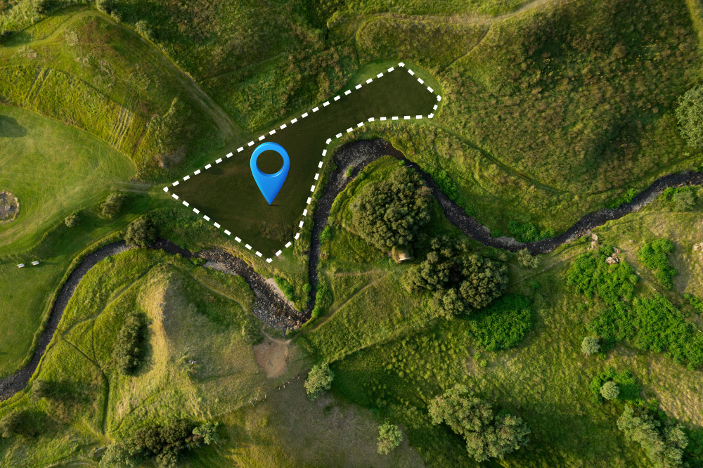
Land cover analysis is a method used to understand the physical condition of the Earth's surface. Land cover includes various forms, ranging from forests, rice fields, grasslands, settlements, to bodies of water. Through this analysis, we can identify how land changes over time and its impact on the environment as well as human life. It is important to note that land cover refers to the physical condition of the land, while land use refers more to the function or utilization of the land by humans.
In an era of climate change and rapid development, land cover analysis has become a key tool to understand the interaction between humans and the environment. The analysis helps answer important questions: how land is used, to what extent land changes, and what impacts it has on ecosystems and society.
One of the biggest problems today is uncontrolled land use change. The conversion of land from forests to plantations, mining, or urban areas continues to increase. According to FAO, deforestation contributes significantly to carbon emissions, accelerating the climate crisis. In Indonesia, reports from the Ministry of Environment and Forestry (KLHK) show that millions of hectares of forest have been lost over the past two decades.
The impacts of land use change include:
This problem is further complicated by data limitations. Many land use changes occur without being recorded in detail, making it difficult for governments, researchers, and communities to take strategic action.
Canopy cover is one of the parameters often analyzed in land cover analysis because it indicates the health and function of forest ecosystems. Dense canopy usually signifies a healthy ecosystem with high biodiversity, while sparse canopy can be an indication of forest degradation due to logging, fires, or land conversion.
In addition, canopy cover and land cover in general play a role in:
The results of land cover analysis have major impacts across various sectors:
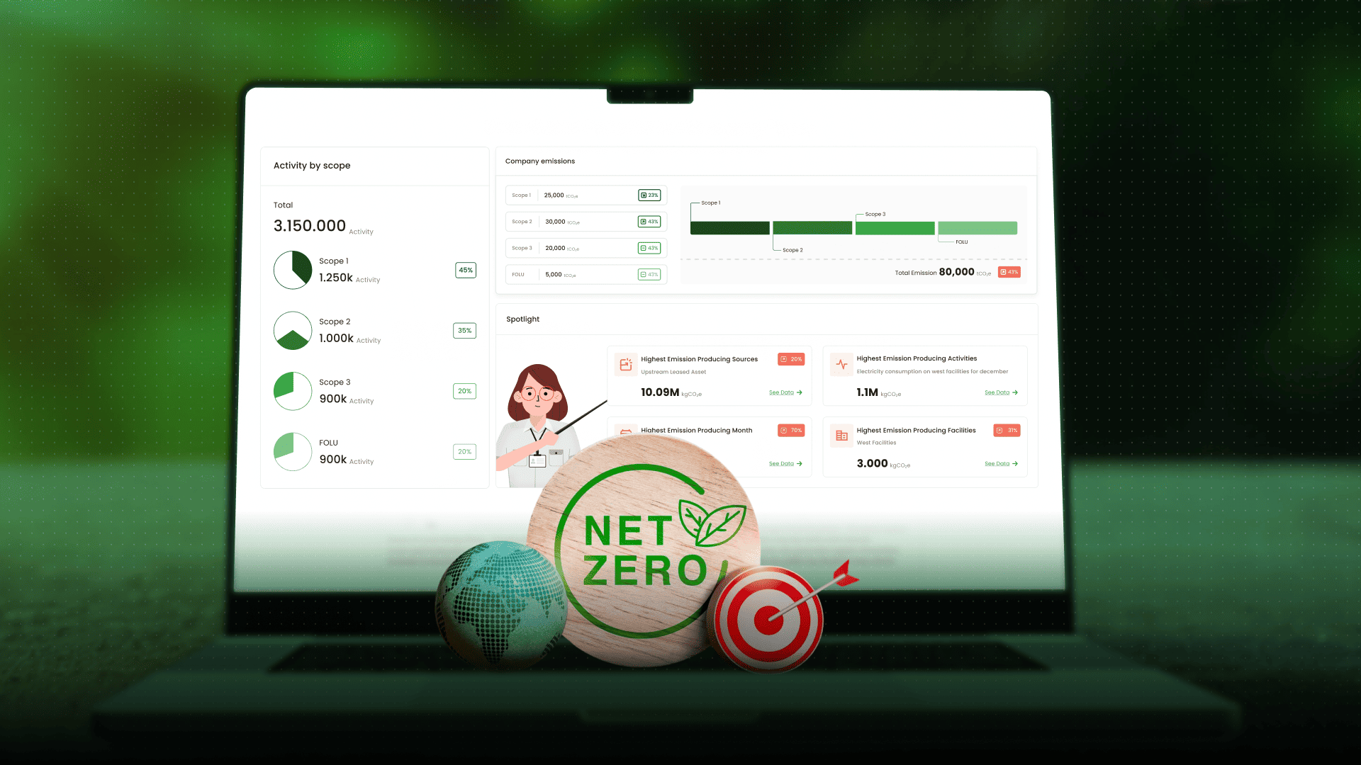
In Indonesia, land cover analysis has been used to control deforestation, design restoration programs, and monitor carbon projects. Artificial intelligence (AI)-based technology is also being utilized to improve the speed and accuracy of analysis, allowing data to be applied more quickly in decision-making.
Land cover analysis is an essential tool to understand the interaction between humans and nature through land cover data. By monitoring land changes, governments, businesses, and communities can develop more accurate policies, ensure sustainability, and protect ecosystems. Challenges such as data limitations and seasonal factors do exist, but technological advancements make this analysis increasingly relevant.
For those who want to see how land cover analysis can be applied in real environmental monitoring, you can try CarbonAtlas by Jejakin – a data-based platform that supports more effective land management and conservation.
Land cover analysis shows that every land use change has a real impact on forests and the environment. You can also contribute, for example by planting trees with Jejakin through event.jejakin.app, or by sharing this information so that more people become aware of the importance of preserving land cover and forests for the future of our planet.


Jejakin’s green programs combine high-tech monitoring, biodiversity restoration, and community-led initiatives to deliver powerful, sustainable change across ecosystems.